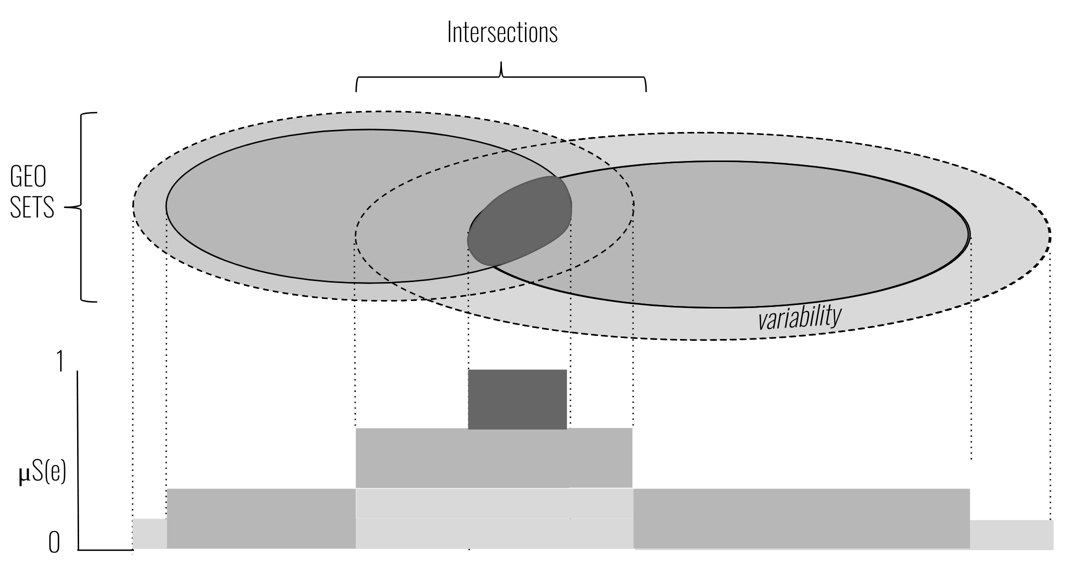
Intersection of geo-sets with variability (e. g., time) captured by the membership function µS (e).
Abstract
Reasoning over spatial regions is frequent in everyday life. For instance, when moving to a new city, one may want to pick a locations based on its reachability by bus or at a walking distance to school and workplace. Geo-sets—spatial regions plus a category—are well suited to support picking such consensual locations: overlaps of two (or more) sets indicate places that match preferences (e. g., reachable by bus or close to schools).